
Kiosk design and features to be based on the successful Wellington model.
Click here to visit the Consecon Trailhead information page.
View from Slab Creek bridge towards Station Rod
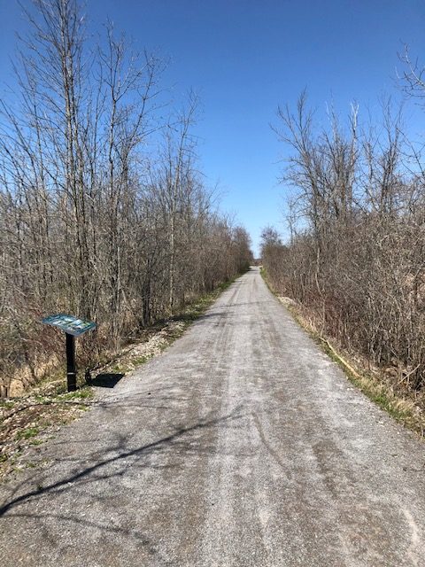
View from trail at Station Road – kiosk space at right
View away from Station Road down trail towards Slab Creek
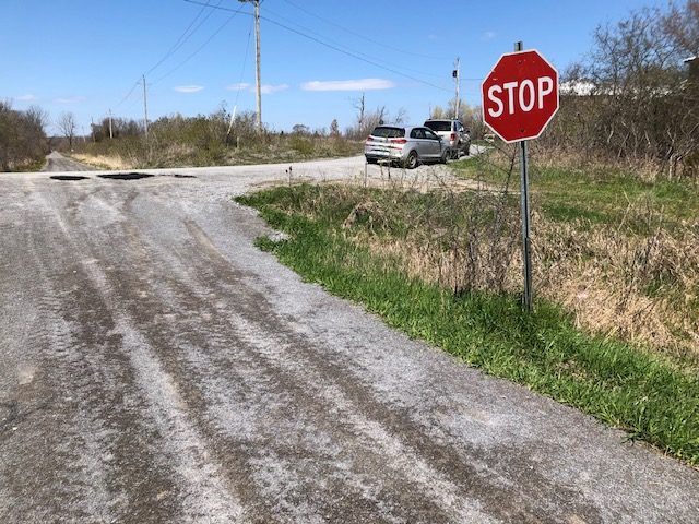
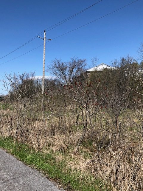
View from Station Road at trail
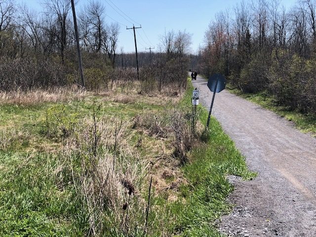
Near Trail/Hillier Road intersect showing hydro pole. Shows steep slope up from Trail.
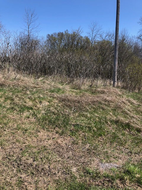
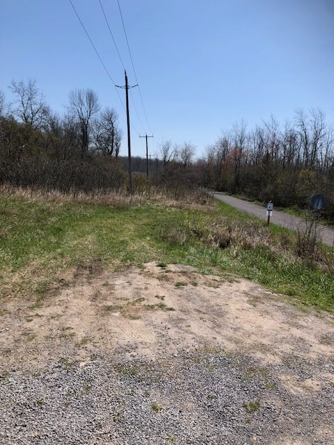
On trail, Station Rd to the left, showing slope of area for trailhead
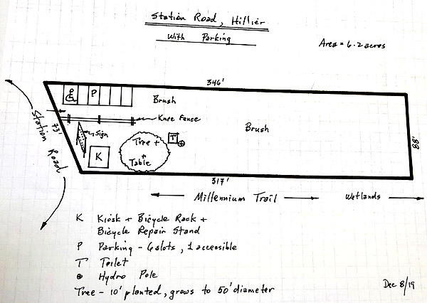
Station Road, Hillier – Trailhead area plan